
Planning-stage geological survey in Bodrum and Milas
When an area is being zoned or a zoning plan changes, municipalities require a geological and geotechnical survey of settlement suitability, and the plan is drawn from that report. Otto Mühendislik has completed this survey for Bodrum Municipality at Göktepe, for Muğla Metropolitan Municipality on 1,000 hectares at Kazıklı in Milas, and for Didim Municipality at Tavşanburnu.
Get a quote for this service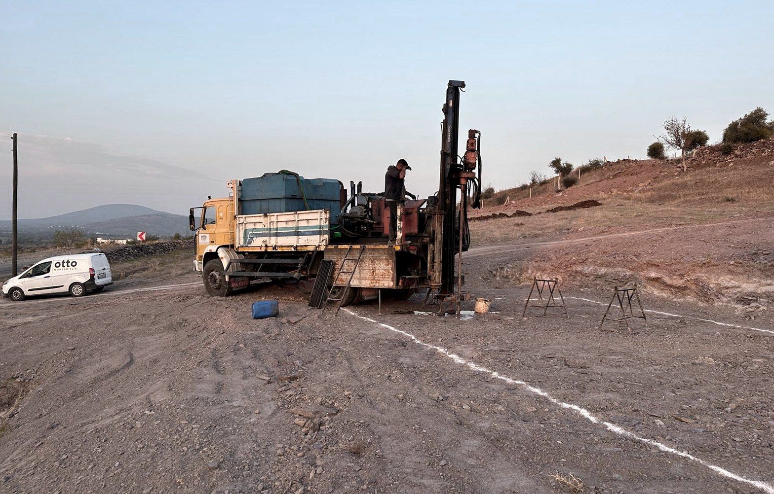
Scope of work
The work items are confirmed in the quote, based on the plot and project requirements.
- Geological and geotechnical assessment of the plan area
- Settlement-suitability maps
- Report formatted for institutional approval
- Field organisation for large-area studies
What you receive
- Geological and geotechnical survey report
- For the whole plan area.
- Settlement-suitability maps
- At the same scale as the plan sheets.
- Approval file
- In the order the municipality and the provincial directorate require.
The crew has delivered plan-scale surveys and knows the report format and the approval process public institutions expect.
The institutional process
A planning-stage survey begins at the request of the municipality or the metropolitan municipality. The plan area is walked, borehole and measurement points are distributed according to its geology, and the results are entered on settlement-suitability maps. The report goes through the municipality to the provincial directorate of the Ministry of Environment for approval, and the plan is drawn after that approval. Otto Mühendislik has run this process end to end with Bodrum Municipality, Muğla Metropolitan Municipality and Didim Municipality.
Field organisation over a large area
The Kazıklı study in Milas covered not a single plot but an area larger than a whole neighbourhood. On jobs like this the truck's route, the order of the boreholes and the layout of the seismic lines are planned in advance, and the crew works in the field for days. Borehole logs, seismic profiles and laboratory results are collected in one file, and the map sheets are drawn at plan scale. The same code and the same layout apply as for a report written for a single plot.
Settlement-suitability maps
The main output of the survey is the settlement-suitability map. It says which part of the plan area is suitable for building, which is suitable with precautions and which is not, and the zoning plan is drawn from it. The maps are prepared at the same scale as the plan sheets, supported by the borehole and seismic data, and go into the file in the format the municipality and the provincial directorate require.
Common questions
Who needs a planning-stage geological survey?
Municipalities. Full answer
How is it different from a plot survey?
The difference is scale. Full answer
What do time and price depend on?
The size of the area, the number of boreholes and measurements, and the report format the institution requires. Full answer
Start with the plot location.
Share a location or block and parcel number. The team will contact you about a site visit and quote.